19. February 2019 · Comments Off on Updated Snow Forecast for Wednesday · Categories: snow, weather discussion · Tags: ,
NWS snow forecast

Winter Weather Advisory will be in effect for Wednesday. The Winter Storm watch is no longer in effect.

Based on everything I’ve seen today, I’m lowering my snow forecast to 1-3″. There’s even a good chance we could see less than this.

Reasons for the update:

  • not as much cold air available
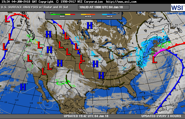
  • there is no real cold high pressure to the north of us. rather it will be to the east of us and that will help promote the warmup that will take place
  • the air before the storm is very dry. This will prevent any snow accumulation for the first several hours of the storm. At this time I don’t expect snow to start in our area until mid-day or slightly later
  • like so many storms of this winter, we will transition to sleet and freezing rain to rain. I expect us to start this transition wednesday evening
19. February 2019 · Comments Off on Winter Storm Watch Wednesday · Categories: weather discussion · Tags: ,
NWS snow forecast

Will this be another repeat of the November 2018 storm? A recap in case you don’t remember. Most of the area was under a winter storm warning or winter weather advisory. Schools got closed even though no snow arrive until early afternoon. It then snow on an off, moderate at times, until it changed over to sleet and eventually freezing rain and then all rain.

History looks to repeat itself.

There are a couple of differences with tomorrows system compared to November:

  • More snow will fall to the south and west than the north. It’s usually just the opposite.
  • Our cold air supply is not in a good position and shouldn’t last as long as other storms have in the past
  • After the storm we should have high temperatures in the 50’s on Thursday after the storm!
Current watches in our area

Anticipate the the current winter storm watch will be transitioned to either a winter storm warning or a winter weather advisory.

Initially I wasn’t overly impressed with the system and the lack of cold air. My forecast is for 204″ of snow with more to the south and west and less to the north.

As always we need to keep an eye on the changeover to sleet and freezing rain and how long that part of the storm will be. The storm will eventually changeover to plain rain before ending.

16. November 2018 · Comments Off on Early Season Snowstorm Pulls Away · Categories: Fall, snow · Tags: ,

7.7″ of snow in Stewartsville NJ

To say yesterday’s snowstorm was an over-producer is an understatement. When you melt all the snow and sleet and freezing rain it totaled 1.67″ in Stewartsville. As you may recall in an earlier post only 1-1.25″ was forecast. So if this was all snow, we would have been clobbered even more.

The cold air hung on much longer than anticipated. And the snowfall rates were 2″ per hour for a time yesterday afternoon! We don’t see snowfall rates that impressives until the middle of winter!

The roads are a mess and many schools are closed. Today’s high temperature is already above freezing and should get into the low 40’s. Hopefully some good melting will take place but remember the ground is already saturated from all the recent rains. We should see sunshine today but the winds will pick up as the storm pulls away.

Good news is the weather look quiet into Thanksgiving week but it will remain on the cool side.

14. November 2018 · Comments Off on Thursday Wintry Update · Categories: Fall, snow · Tags: , ,

NWS snow forecast for Thursday

Many computer models and other sources of information used to make weather forecasts have trended colder for tomorrow’s storm. The high pressure system to the north that will develop today will be stronger than originally thought. As a result today we will not see temperatures go up that much from where there are now despite sunshine. Tonight will be the coldest night of the new cold season.

As a result I’m increasing my snow forecast for tomorrow to a coating to 2″ with more to the north. The snow will still mix with and change to sleet/freezing rain and then rain my Thursday evening. The devil is in the details as they say as to when this happens. Most of the time for for I-78 corridor this happens sooner than anticipated. I’m counting on that to happen again this time hence why my snow totals are lower than the NWS map above. But of course the potential is there to receive more.

11. March 2018 · Comments Off on Monday Night Into Tuesday Storm · Categories: snow · Tags: , ,

NWS snow forecast

Sunday night will be a cold night with low temperatures near 20 which is colder than the last few nights. Monday will feature increasing clouds and continued cool with night in the mid to upper 30’s. Normal high this time of year is 47. Light snow should start to move into western New Jersey from SW to NE in the evening around 8 pm give or take. Periods of light snow should continue overnight and end Tuesday morning. At this time I’m forecasting a coating to 2″ for most locations of western New Jersey. There will be more snow from this storm to the north and east. Here is a forecast map wider in scope:

04. January 2018 · Comments Off on Snow Tapering Off West to East · Categories: snow · Tags: ,

Surface map showing strong coastal storm

Surface map showing strong coastal storm

Snow is tapering off from west to east across western new Jersey. Stewartsville received 2.5″ of new snow.

Now the winds are picking up and the temperatures will start to fall. the next concern is wind chills and low temperatures. Please take precautions and make sure your pipes are OK!

04. January 2018 · Comments Off on 11 am Storm Update · Categories: snow · Tags: , , ,

Sorry this is a dated image from 11 am. I was about to post then the phone rang. It shows the bands of snow continuing. Another band approaching western New Jersey.

Eastern New Jersey and the Jersey shore and NYC are getting pounded. These spots should easily get 1 foot of snow…

04. January 2018 · Comments Off on 9 am Thursday Storm Update · Categories: snow · Tags: , ,

20180104_141847000_iOS

1.5″ of snow in Stewartsville as of 9 am.

03. January 2018 · Comments Off on Wednesday Midday Update for Thursday Snow · Categories: snow, winter · Tags: , , ,

NWS Snow Forecast for Thursday

NWS Snow Forecast for Thursday

This is a brief Wednesday midday update on the Thursday snow. So far everything looks on track. As seen above the NWS has increased their snow forecast for 2-4″ of snow for western New Jersey from west to east. I think that’s a good forecast at this point.

The snow should start after midnight but before sunrise. The heaviest part should be from about 6 am until noon. Then just flurries and turning windy with some strong wind gusts in the afternoon!

Then bitter, bitter cold air and wind into Sunday morning with near or slightly below zero temperatures Saturday and Sunday mornings.

30. December 2017 · Comments Off on Light Snow Saturday Morning · Categories: snow, winter · Tags: , ,

Radar at 7:30 am

Radar at 7:30 am

As you wake up this Saturday morning you will find light snow falling in western New Jersey with temperatures in the mid teens.

NWS Snow forecast

NWS Snow forecast

As seen in the radar above, the heaviest bands of snow appear to be setting up to our south. As a result those locations could see up to 3″ of snow. The rest of the area should see up to 2″ of light snow.

The NWS has issued a winter weather advisory for areas to our south.

The light snow should let up by early afternoon. Then we should see some flurries or perhaps some snow showers this afternoon. Then more bitter cold air returns after our “balmy” day today…

Animated Social Media Icons by Acurax Responsive Web Designing Company
Visit Us On TwitterVisit Us On FacebookVisit Us On PinterestVisit Us On YoutubeVisit Us On Instagram