Well it finally looks and feels like December! Here are some reasons this will NOT be a big snow producer for western New Jersey:
1. A warm front is approaching the area. This means once the front passes, we will get warm and the frozen precipitation will turn to rain eventually
2. The main storm system is going to go to our north and west, meaning we will be on the “warm” side of the storm
3. There is no cold high pressure to our north pumping in colder air

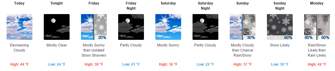
NWS expected snow fall
With the above in mind this is what will happen in western New Jersey. Periods of light snow will overspread the area this afternoon. This could start as early as mid day in some part of the area but most of that should stay to our west. We could see a coating on the ground from this.
Then there will be a break in the precipitation until the storm get closer to our area. The precipitation should resume mid to late evening and continue overnight.
I expect light snow to mix with sleet and freezing rain before eventually changing to plain rain by Monday morning. This transition will happen faster in southern and lower elevation areas. Areas further north and more elevated areas will see the transition take longer.
In southern warren county, central and southern hunterdon counties I expect a coating to 1″ of snow before changing over to mix then rain. North of that area up to and perhaps just a little bit further north of I-80 I can see 1-3″ of light snow. North of that has the potential for 3-6″ before the changeover.
There could be some light ice buildup during the changeover period so be aware of that.
The Monday morning commute will need some extra travel time so please allow for it.
The National Weather Service has issued a Winter Weather advisory starting at 1 pm today lasting into tomorrow.


Recent Comments